During our drive along the Blue Ridge Parkway from Asheville to the Great Smoky Mountains, we stopped at 29 scenic overlooks, hiking areas, and photo spots. This guide includes photos, elevations, mileposts, and tips for visiting each location.
Once we left our Airbnb in the woods of Asheville, North Carolina, we decided to continue our Summer Road Trip. Mena and I had heard about the Blue Ridge Parkway but had no idea it would be as amazing as it was. We entered at the Blue Ridge Parkway Visitor Center near Asheville and followed the parkway all the way to Great Smoky Mountains National Park.
Although the drive itself can be completed much faster, our journey took approximately six hours because we stopped at every overlook and scenic viewpoint we encountered. Every stop offered a unique perspective of the Blue Ridge Mountains, making this one of the most memorable road trips we’ve ever taken.
If you ever have the opportunity to visit western North Carolina, I highly recommend spending a day exploring the Blue Ridge Parkway. The views are spectacular, the drive is peaceful, and there are countless opportunities for photography, hiking, and sightseeing.
Blue Ridge Parkway Quick Facts
| Fact | Information |
|---|---|
| Length | 469 Miles |
| States | Virginia & North Carolina |
| Highest Elevation | 6,053 Feet |
| Southern Terminus | Great Smoky Mountains National Park |
| Northern Terminus | Shenandoah National Park |
| Best Time to Visit | September through November |
| Drive Time | 10–12 Hours Without Stops |
Blue Ridge Parkway Visitor Center (Milepost 384.7)
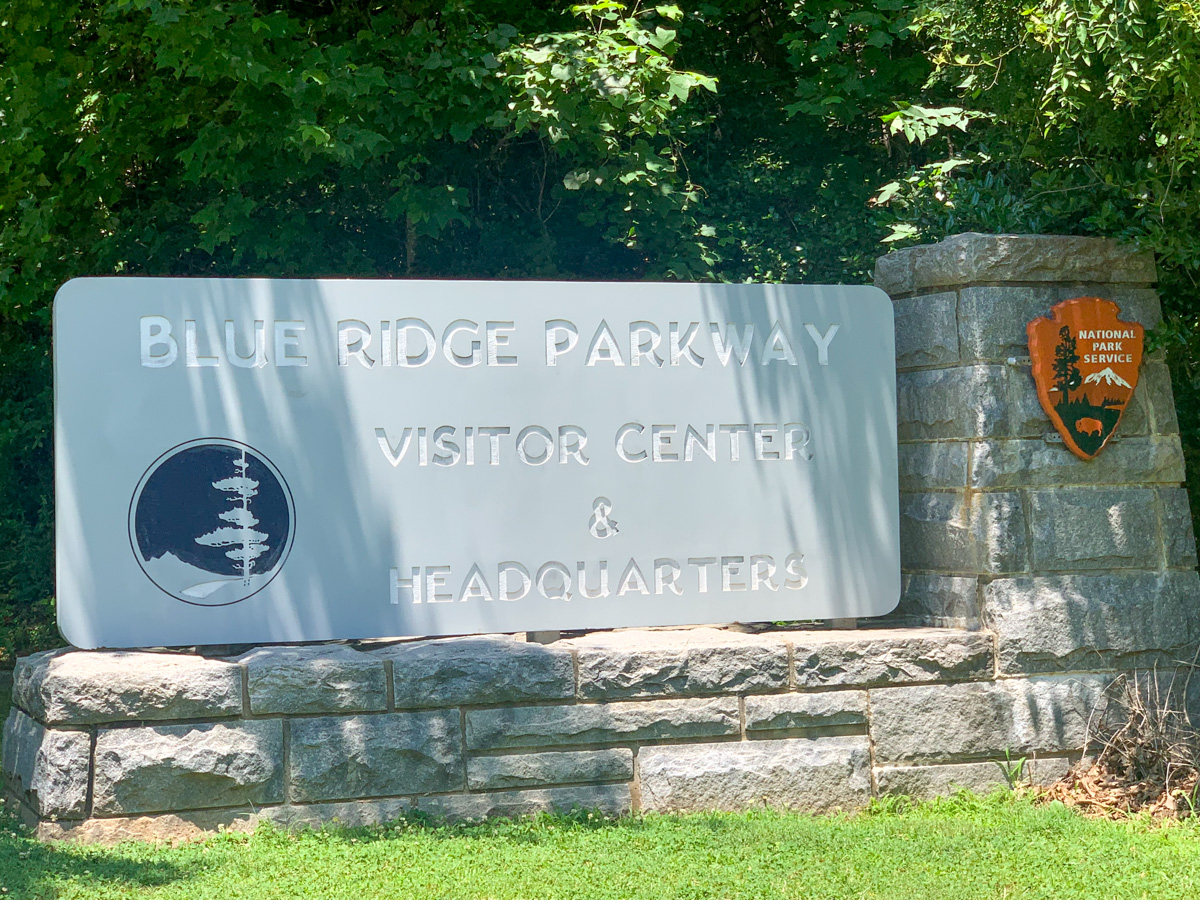
Elevation: Approximately 2,135 Feet
The Blue Ridge Parkway Visitor Center near Asheville is the ideal place to begin your journey along one of America’s most scenic roads. Located just outside Asheville, the visitor center offers exhibits, maps, current road conditions, and helpful information about overlooks, hiking trails, and attractions along the parkway. Before starting your drive, it’s worth spending a few minutes learning about the history of the Blue Ridge Parkway and planning which stops you’d like to visit. For first-time visitors, this is an excellent introduction to the mountains of western North Carolina.
French Broad Overlook (Milepost 393.8)
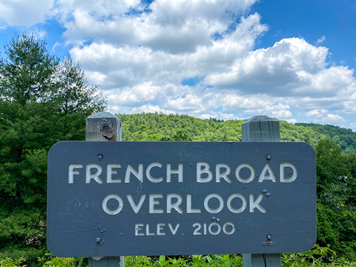
Elevation: 2,120 Feet
French Broad Overlook provides one of the first major scenic views south of Asheville. From here, visitors can look out across the French Broad River Valley and the surrounding mountain ridges. The French Broad River is believed to be one of the oldest rivers in North America and is one of the few major rivers in the eastern United States that flows north. Early mornings often bring low-lying fog that fills the valley, making this one of the most photogenic stops along the Blue Ridge Parkway. The overlook is especially popular during the fall when colorful foliage blankets the surrounding hillsides.
Walnut Cove (Milepost 396.4)
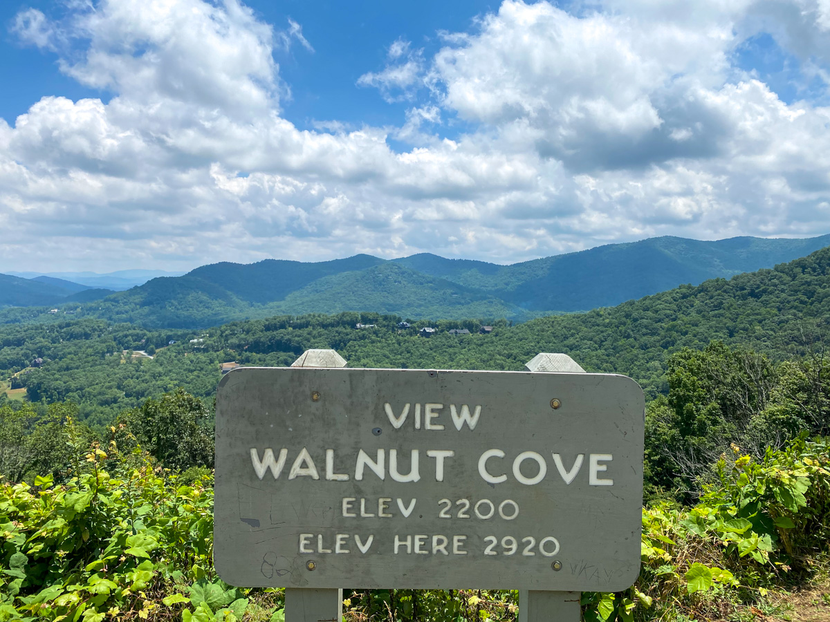
Elevation: 2,915 Feet
Walnut Cove is a peaceful overlook that offers expansive views toward the mountains surrounding Asheville. The overlook takes its name from the black walnut trees that once grew throughout the region and were highly valued for their wood. Today, visitors enjoy panoramic mountain scenery and easy access to nearby sections of the Mountains-to-Sea Trail. Because of its eastward-facing views, Walnut Cove is considered one of the better sunrise locations on this portion of the Blue Ridge Parkway. During autumn, the valley below transforms into a patchwork of vibrant reds, oranges, and yellows.
Chestnut Cove (Milepost 398.3)
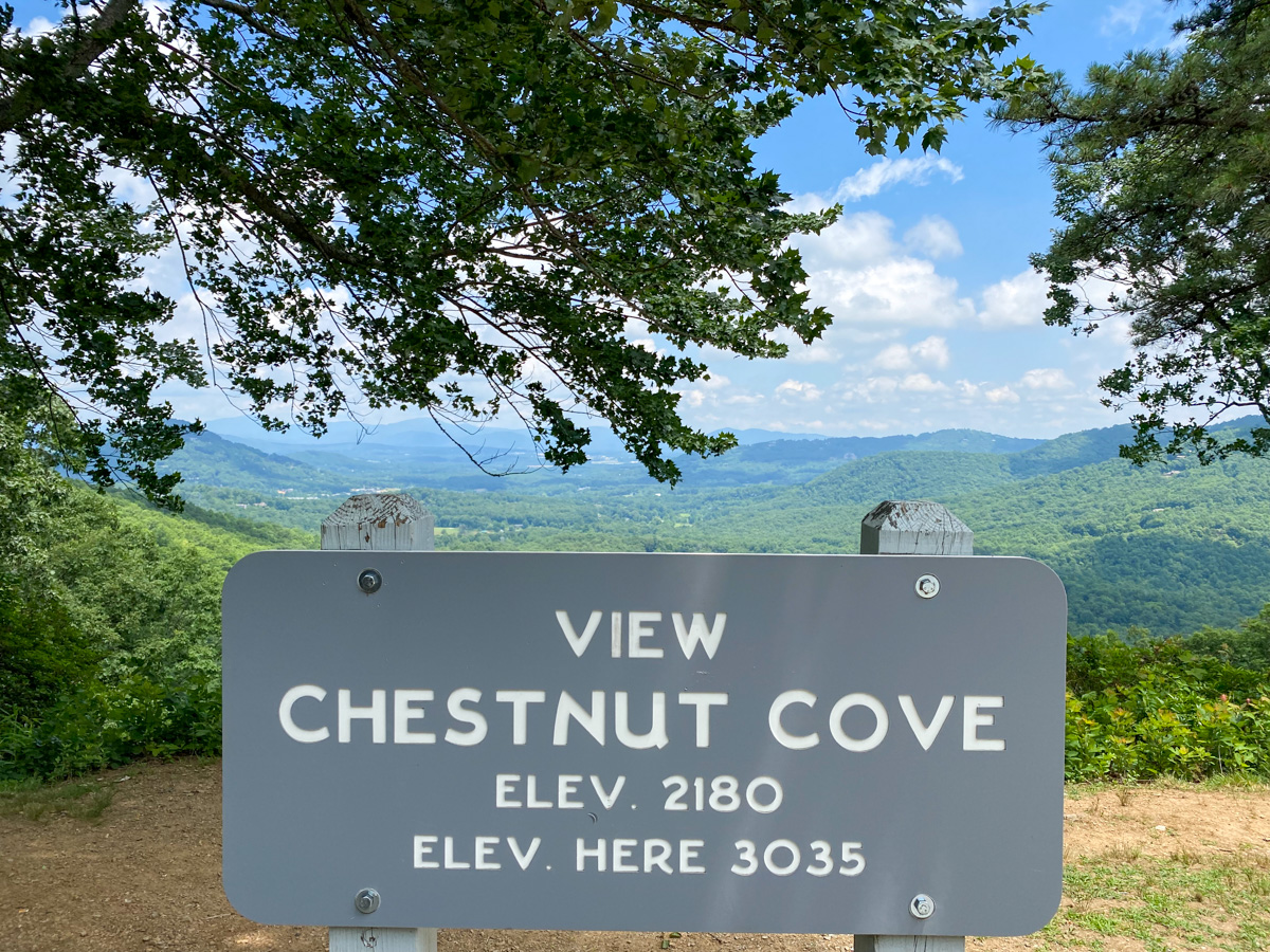
Elevation: 3,035 Feet
Chestnut Cove is named after the American chestnut trees that once dominated forests throughout the Appalachian Mountains. Although chestnut blight dramatically reduced the population of these trees during the twentieth century, the overlook preserves the memory of a species that once shaped the region’s landscape. Today, Chestnut Cove offers visitors broad views of rolling mountain ridges and dense forests stretching toward the horizon. The overlook is particularly beautiful during the spring and fall seasons when changing colors add extra character to the mountain scenery.
Bad Fork Valley Overlook (Milepost 399.7)
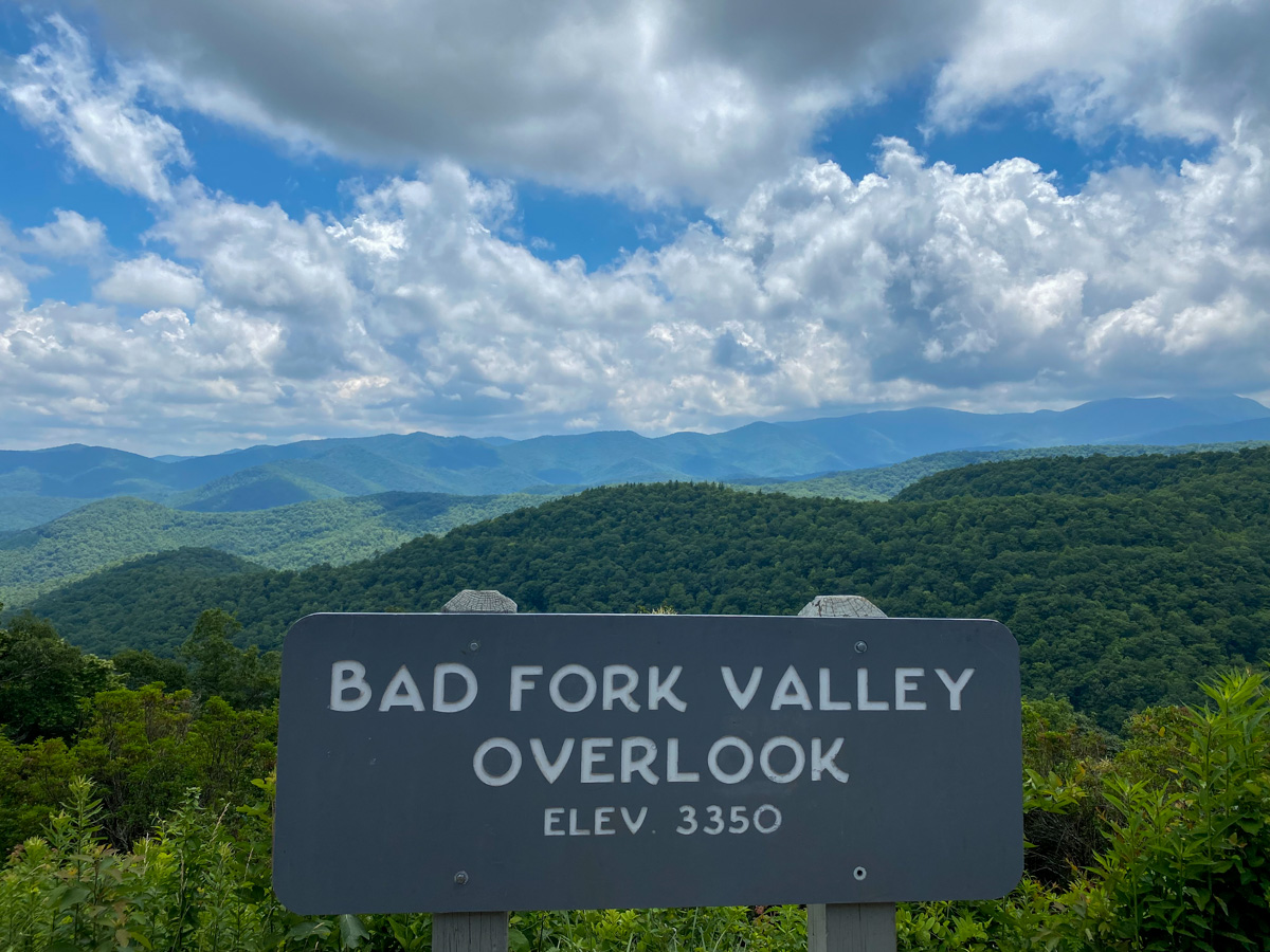
Elevation: 3,350 Feet
Bad Fork Valley Overlook provides a spectacular view into one of the many secluded valleys that characterize the Blue Ridge Mountains. Surrounded by forested ridges, the valley below appears untouched and remote despite being only a short drive from Asheville. The overlook offers excellent opportunities for landscape photography, particularly during autumn when vibrant foliage fills the valley. Visitors often stop here to appreciate the quiet beauty of the region before continuing south toward some of the higher elevations found later along the Blue Ridge Parkway.
Hominy Valley (Milepost 401.6)
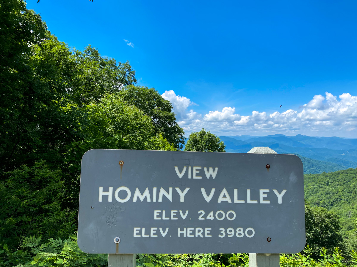
Elevation: Approximately 3,980 Feet
Hominy Valley offers a different perspective than many of the surrounding overlooks. Instead of endless mountain ridges, visitors can observe a blend of agricultural lands, forests, and rural communities spread across the valley floor below. The contrast between farmland and mountain scenery creates a unique view that highlights the relationship between the people of western North Carolina and the landscape they call home. Hominy Valley is especially scenic during the growing season when fields and forests are filled with vibrant shades of green.
Cherry Cove (Milepost 415.7)
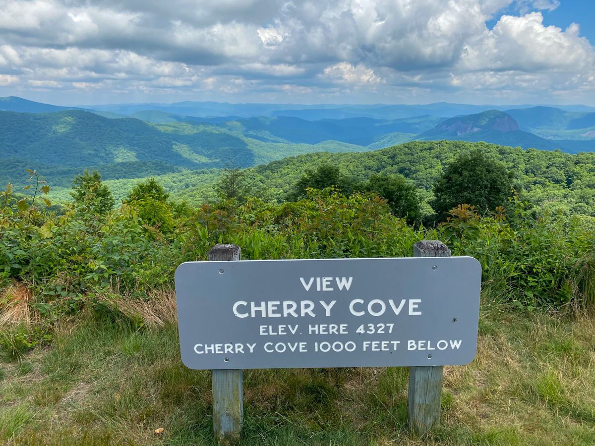
Elevation: 4,330 Feet
Cherry Cove marks a noticeable increase in elevation as visitors climb deeper into the Pisgah National Forest. From this overlook, expansive views stretch across layers of mountain ridges that seem to disappear into the distance. The higher elevation often provides cooler temperatures, even during the summer months. Cherry Cove is a favorite stop for photographers because of its wide-open views and the blue haze that gives the Blue Ridge Mountains their name. Fall foliage season is particularly impressive here.
Log Hollow Overlook (Milepost 416.3)
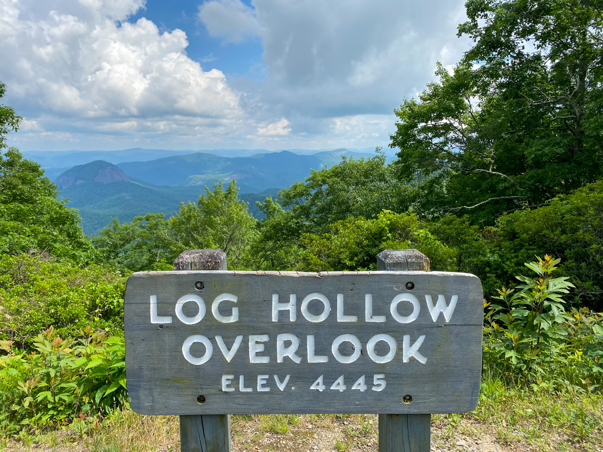
Elevation: 4,445 Feet
Log Hollow Overlook offers some of the most dramatic long-distance views along this section of the Blue Ridge Parkway. Visitors can see multiple layers of mountain ridges stretching across western North Carolina, creating the famous blue appearance caused by natural compounds released by trees into the atmosphere. On clear days, visibility extends for many miles, making this a favorite stop for photographers and nature lovers alike. Sunrise and sunset are particularly beautiful times to visit.
Looking Glass Rock (Milepost 417.0)
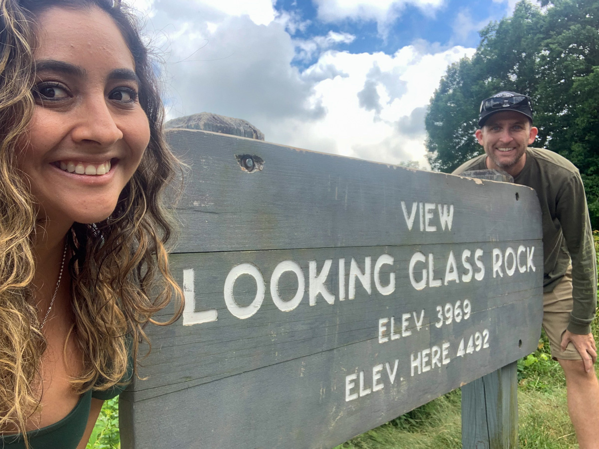
Elevation: 4,493 Feet
Looking Glass Rock is one of the most recognizable natural landmarks visible from the Blue Ridge Parkway. The massive granite dome rises prominently above Pisgah National Forest and can be seen from several overlooks in the area. Its name comes from the way sunlight reflects off the exposed rock face, especially during winter when ice forms across the surface and creates a glass-like appearance. The mountain has become one of the most photographed features in western North Carolina and remains a favorite destination for hikers, photographers, and outdoor enthusiasts.
Cold Mountain (Visible from Milepost 412 Area)
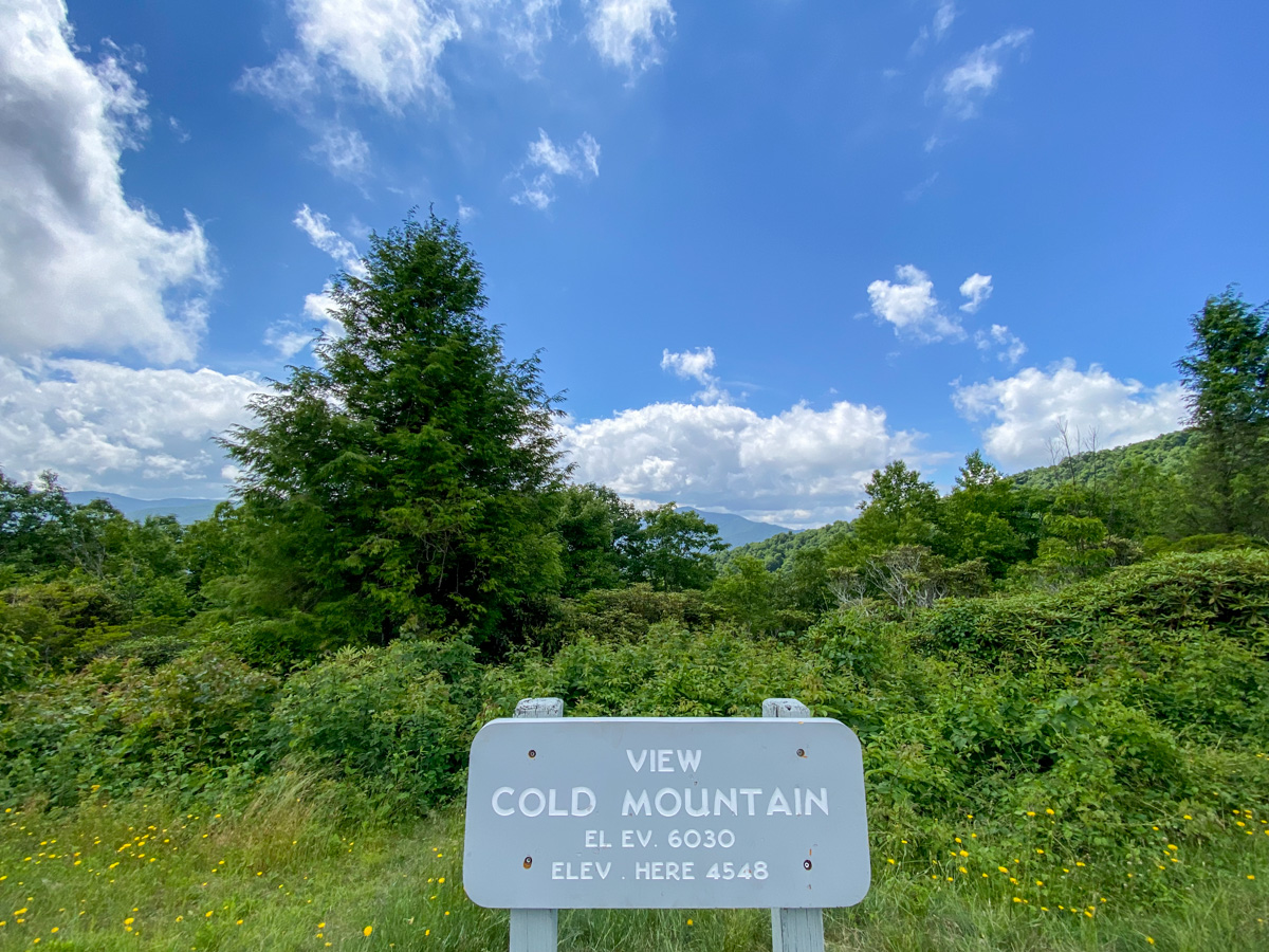
Peak Elevation: Approximately 6,030 Feet
Cold Mountain became internationally known through Charles Frazier’s bestselling novel Cold Mountain and the film adaptation starring Jude Law and Nicole Kidman. Although the mountain itself is not directly on the Blue Ridge Parkway, several overlooks provide excellent views of this iconic Appalachian peak. Rising above the surrounding landscape, Cold Mountain remains one of the most recognizable summits in western North Carolina. The rugged wilderness surrounding the mountain is part of the Shining Rock Wilderness, one of the most pristine backcountry areas in the state. On clear days, the mountain dominates the horizon and creates a dramatic backdrop for photographs.
Wagon Road Gap Overlook (Milepost 412.2)
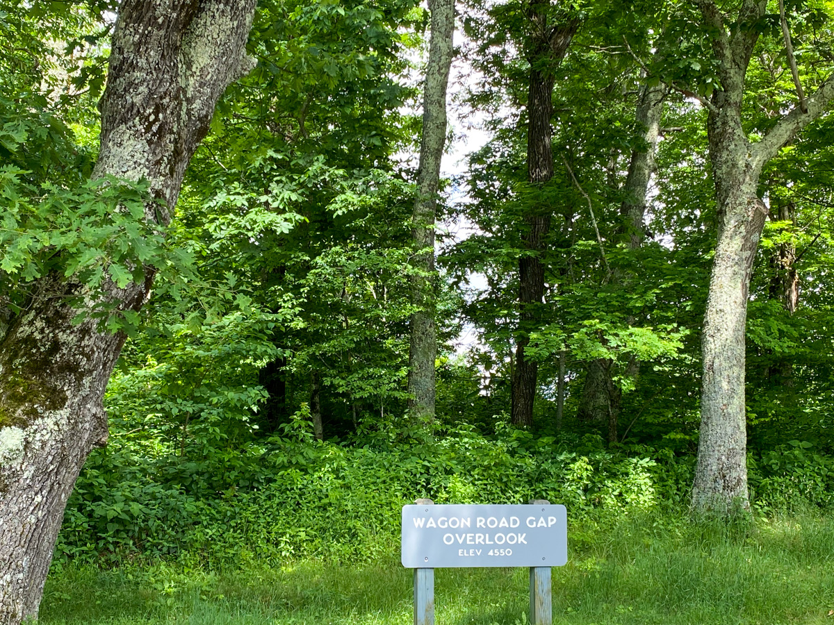
Elevation: Approximately 4,550 Feet
Wagon Road Gap Overlook sits near one of the historic mountain crossings once used by settlers and traders traveling through the Appalachian Mountains. Today, visitors enjoy panoramic views across Pisgah National Forest and the surrounding Blue Ridge Mountains. The overlook offers a glimpse into the rugged terrain that early travelers faced long before modern roads connected these remote communities. Because of its elevation, Wagon Road Gap often experiences cooler temperatures and excellent visibility, making it a rewarding stop throughout the year.
Cradle of Forestry Overlook
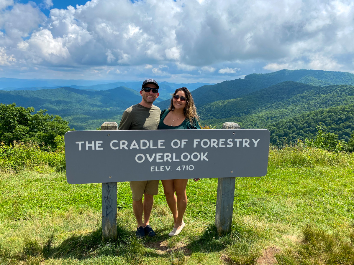
Elevation: Approximately 4,710 Feet
The Cradle of Forestry Overlook looks toward the area known as the birthplace of modern forestry in America. In the late nineteenth century, the Biltmore Estate established the first scientifically managed forestry program in the United States under the leadership of Gifford Pinchot and Carl Schenck. This region played a major role in shaping conservation and forest management practices that continue today. Visitors stopping at the overlook can appreciate both the scenic beauty of the mountains and the important history of forestry in the United States.
Funnel Top
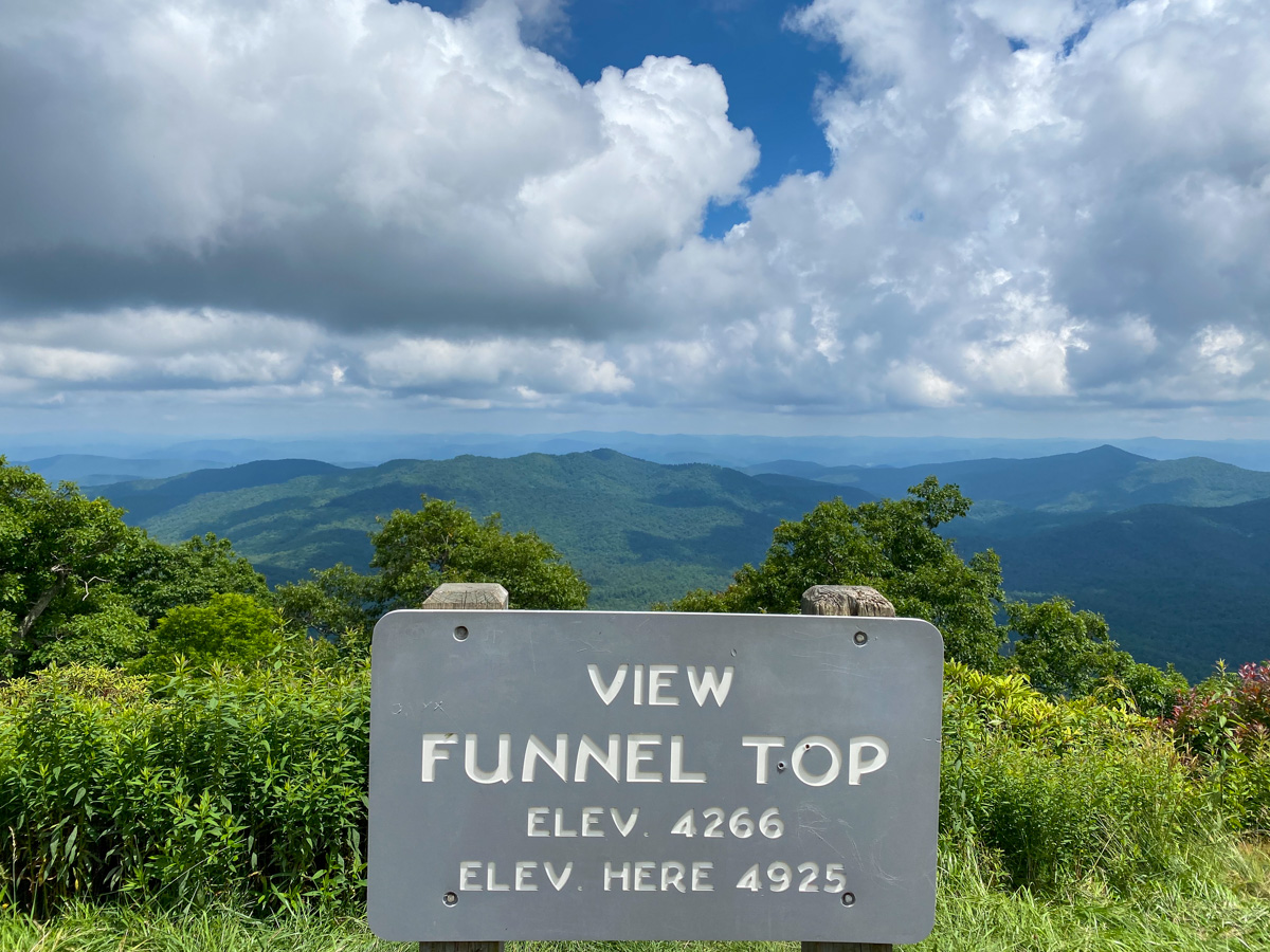
Elevation: Approximately 4,925 Feet
Funnel Top is a lesser-known stop along the Blue Ridge Parkway but offers beautiful views across the surrounding mountain ridges. The overlook gets its name from the unique shape of the nearby terrain and provides visitors with another opportunity to enjoy the layered mountain scenery that defines the Blue Ridge Mountains. Because it receives fewer visitors than some of the more famous overlooks, Funnel Top often feels quiet and peaceful, making it an excellent place to pause and take in the landscape.
East Fork Overlook (Milepost 418.3)
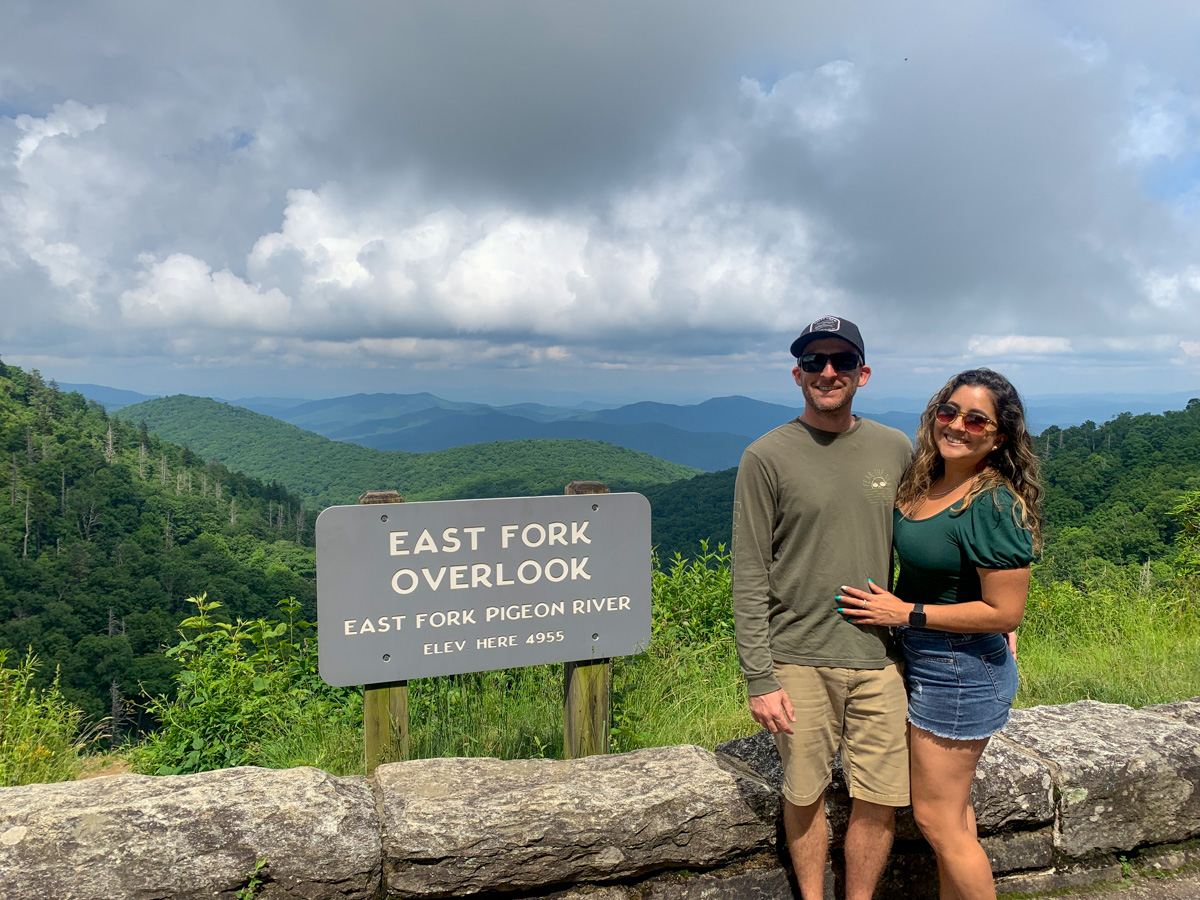
Elevation: 4,955 Feet
East Fork Overlook sits near the headwaters of the East Fork of the Pigeon River and offers sweeping views across some of the highest elevations along this section of the Blue Ridge Parkway. As the road climbs higher into the mountains, visitors begin to experience cooler temperatures and increasingly dramatic scenery. The overlook provides excellent opportunities for landscape photography and is particularly impressive during sunrise when morning light illuminates the valleys below. The surrounding forests are especially colorful during the peak fall foliage season.
Buck Springs Gap Overlook
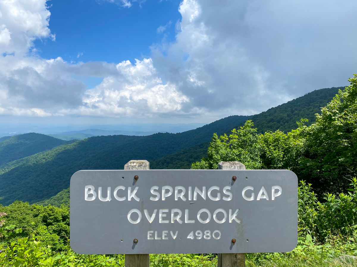
Elevation: Approximately 4,900 Feet
Buck Springs Gap Overlook sits near one of the historic mountain gaps used by wildlife and early settlers traveling through the region. The overlook offers broad views across forested ridges and valleys within Pisgah National Forest. Visitors can often enjoy cooler mountain breezes and long-distance visibility from this elevated location. The surrounding area is rich in wildlife, including black bears, white-tailed deer, wild turkeys, and numerous bird species. It is a peaceful stop that highlights the natural beauty of western North Carolina.
Graveyard Fields (Milepost 418.8)
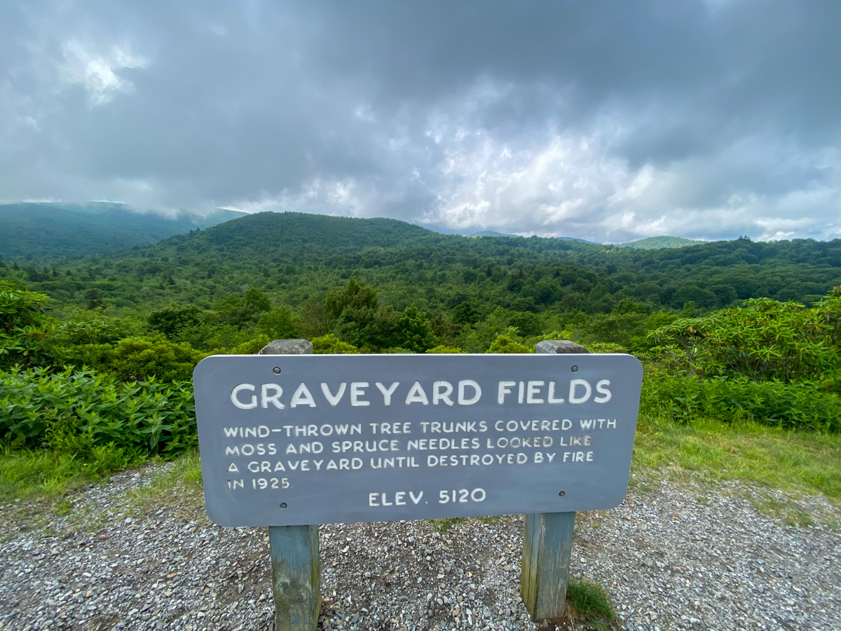
Elevation: 5,115 Feet
Graveyard Fields is one of the most popular destinations along the Blue Ridge Parkway and is known for its waterfalls, hiking trails, and stunning mountain scenery. The unusual name comes from the appearance of tree stumps left behind after a devastating windstorm and fire many years ago, which early settlers believed resembled a graveyard. Today, the area features easy hiking trails leading to waterfalls, wild blueberry patches, and expansive mountain views. Graveyard Fields is especially popular during autumn when brilliant fall colors attract photographers and hikers from across the country.
Courthouse Valley Overlook (Milepost 423.5)
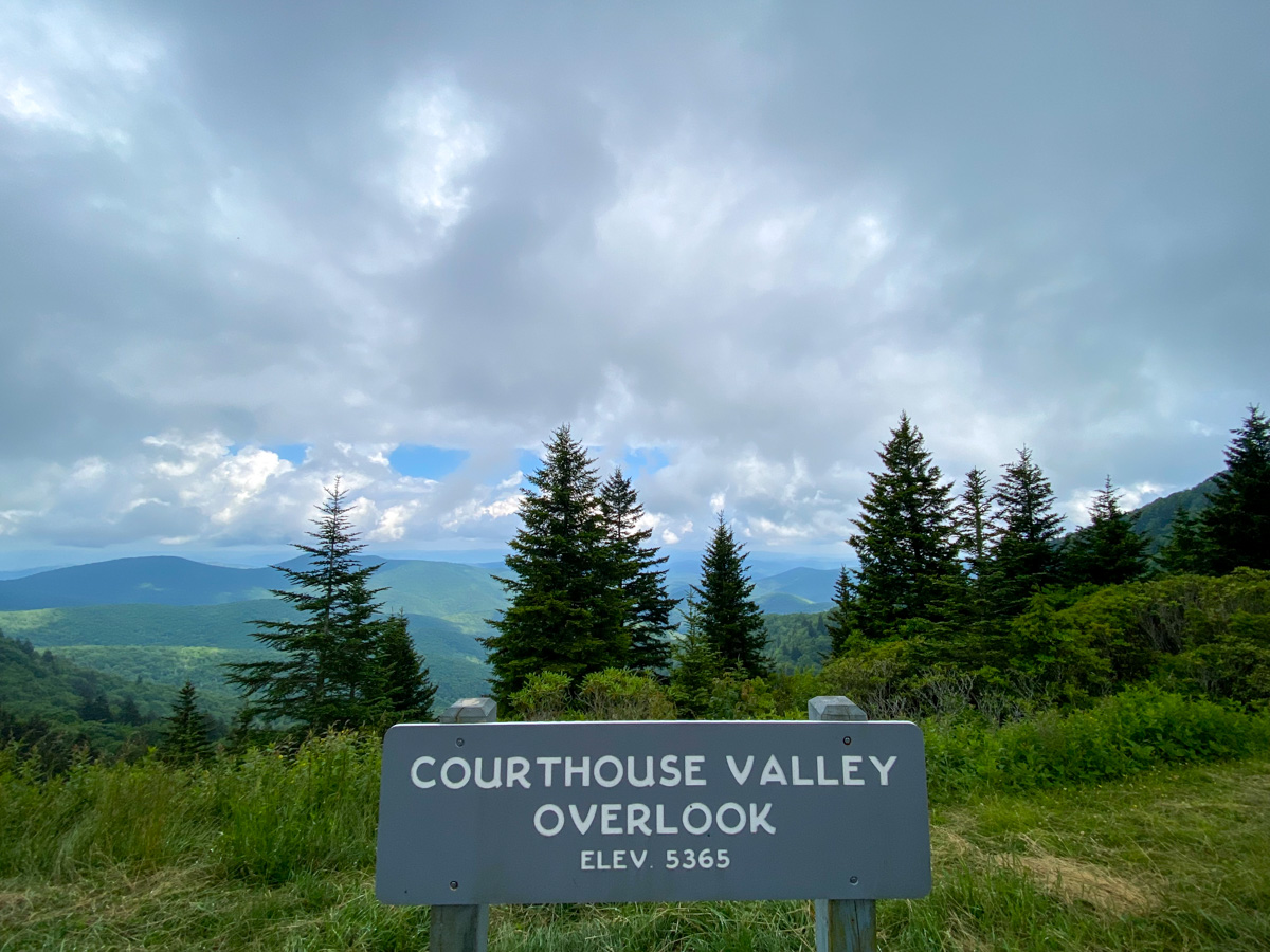
Elevation: 5,362 Feet
Courthouse Valley Overlook provides spectacular views toward Devils Courthouse, one of the most famous rock formations along the Blue Ridge Parkway. From this elevated vantage point, visitors can look across a landscape dominated by rugged peaks, deep valleys, and dense forests. The overlook is particularly beautiful during sunset when warm light highlights the surrounding mountains. Because of its high elevation, Courthouse Valley Overlook often experiences dramatic weather conditions, including fog rolling through the valleys below, creating unforgettable photography opportunities.
Devils Courthouse (Milepost 422.4)
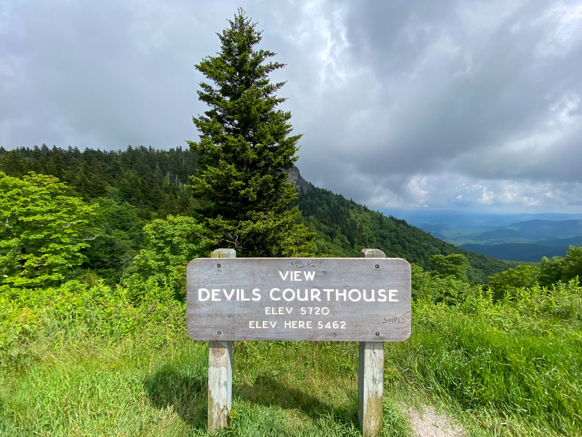
Elevation: 5,720 Feet
Devils Courthouse is one of the most iconic landmarks along the Blue Ridge Parkway. This dramatic rock outcropping rises above the surrounding mountains and offers one of the best panoramic views in western North Carolina. According to Cherokee legend, the cave beneath the mountain was said to be the home of a supernatural being known as Judaculla. A short but steep hiking trail leads to the summit, where visitors are rewarded with nearly 360-degree views stretching across North Carolina, South Carolina, Tennessee, and Georgia on exceptionally clear days. This is one of the most photographed locations on the Blue Ridge Parkway.
Fetterbrush Overlook
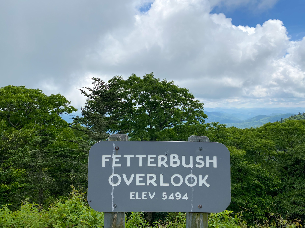
Elevation: Approximately 5,494 Feet
Fetterbrush Overlook is named after the evergreen shrub that grows throughout the high-elevation forests of the southern Appalachian Mountains. This overlook provides visitors with sweeping views across layers of mountain ridges that extend toward the horizon. During spring and early summer, native wildflowers bloom throughout the surrounding forests, adding extra color to the landscape. Because of its location near some of the highest elevations on the parkway, the temperatures here are often noticeably cooler than those in the valleys below.
Wolf Mountain Overlook (Milepost 424.8)
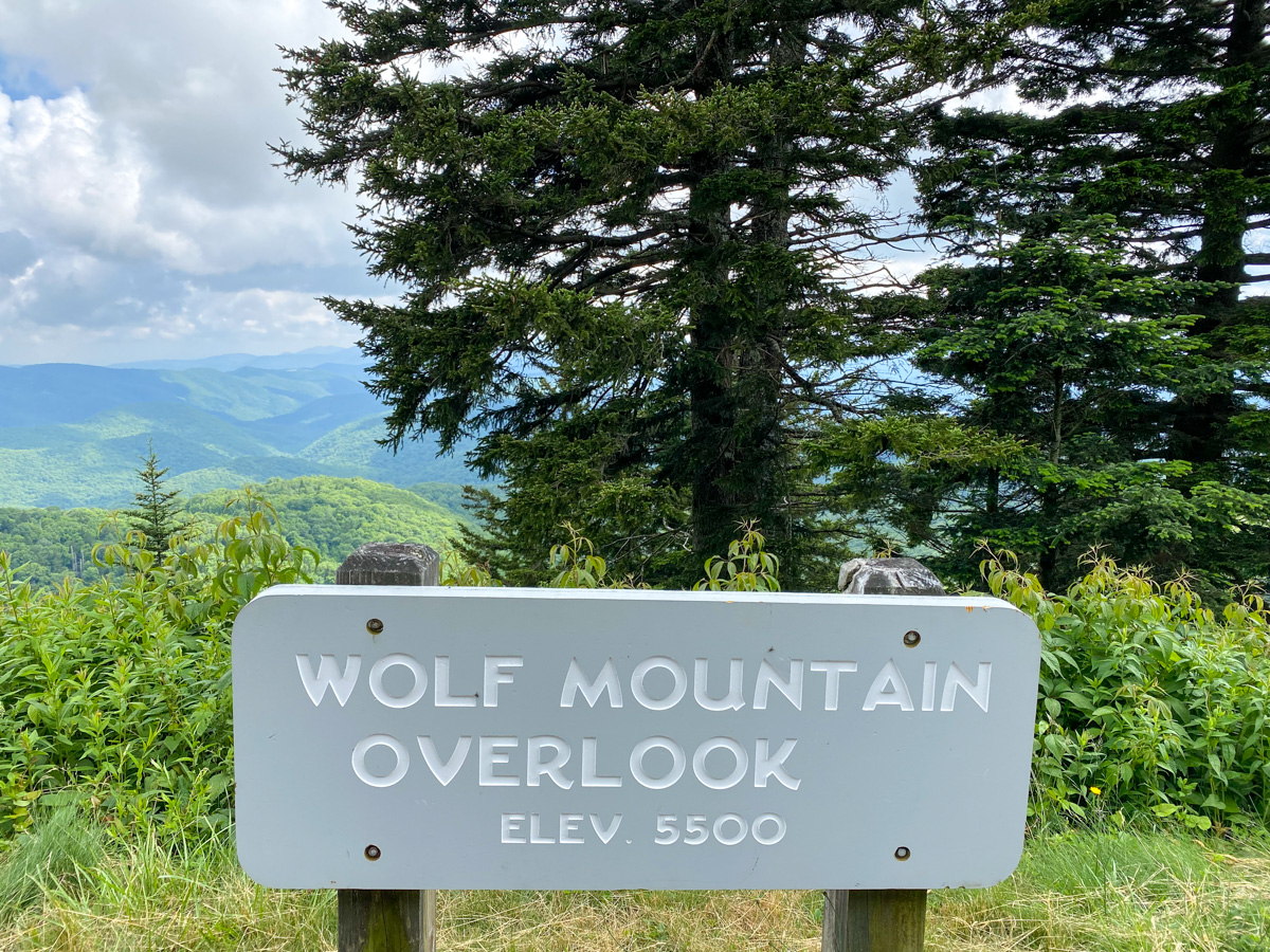
Elevation: 5,500 Feet
Wolf Mountain Overlook provides spectacular long-distance views across the Blue Ridge Mountains. The overlook takes its name from Wolf Mountain, a nearby peak that is part of the Plott Balsam range. On clear days, visitors can see multiple mountain ridges fading into the distance beneath the characteristic blue haze of the Appalachian Mountains. Wolf Mountain Overlook is particularly impressive during the fall foliage season when vibrant colors cover the surrounding forests.
Herrin Knob (Milepost 424.4)
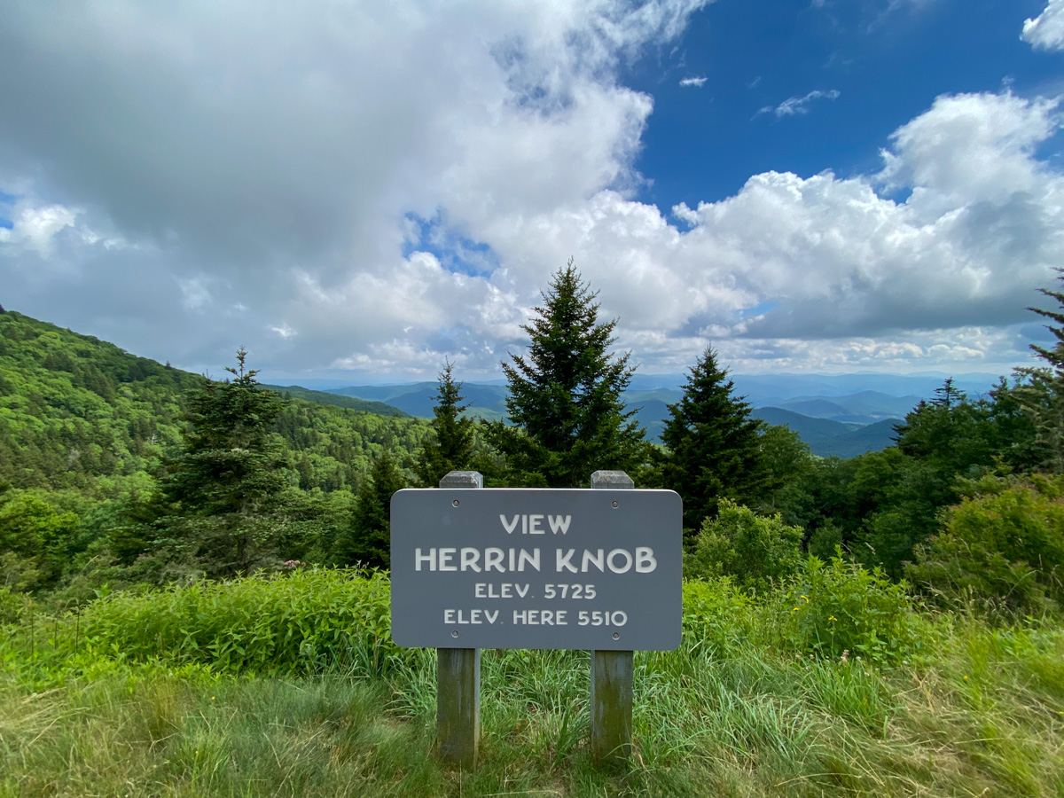
Elevation: Approximately 5,510 Feet
Herrin Knob is one of the highest overlooks along this section of the Blue Ridge Parkway and offers visitors broad views across the Plott Balsam Mountains. The overlook is named after a local family that once lived in the region and helped shape the history of the surrounding mountain communities. Because of its elevation, Herrin Knob frequently experiences cooler temperatures and excellent visibility. It is a popular stop for travelers looking to enjoy peaceful mountain scenery away from some of the busier attractions.
Beartrap Gap Overlook (Milepost 428.5)
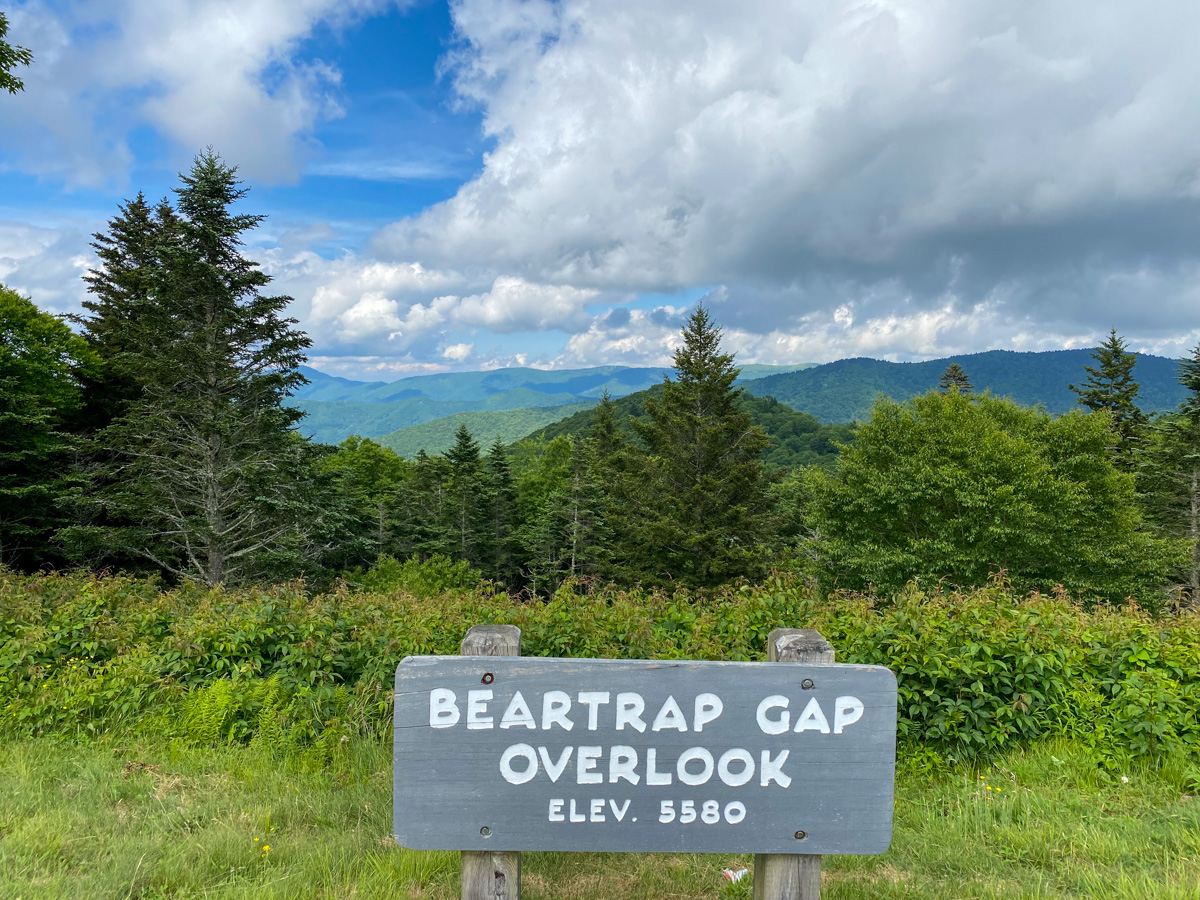
Elevation: 5,580 Feet
Beartrap Gap Overlook sits near one of the many mountain gaps that wildlife have used for centuries to travel between valleys. The overlook offers expansive views across forested ridges and distant mountain peaks. During autumn, the landscape transforms into a vibrant display of reds, oranges, and yellows, making Beartrap Gap one of the most scenic stops along this portion of the Blue Ridge Parkway. Visitors often stop here to take in the peaceful surroundings and photograph the endless mountain views.
Caney Fork Overlook (Milepost 428.0)
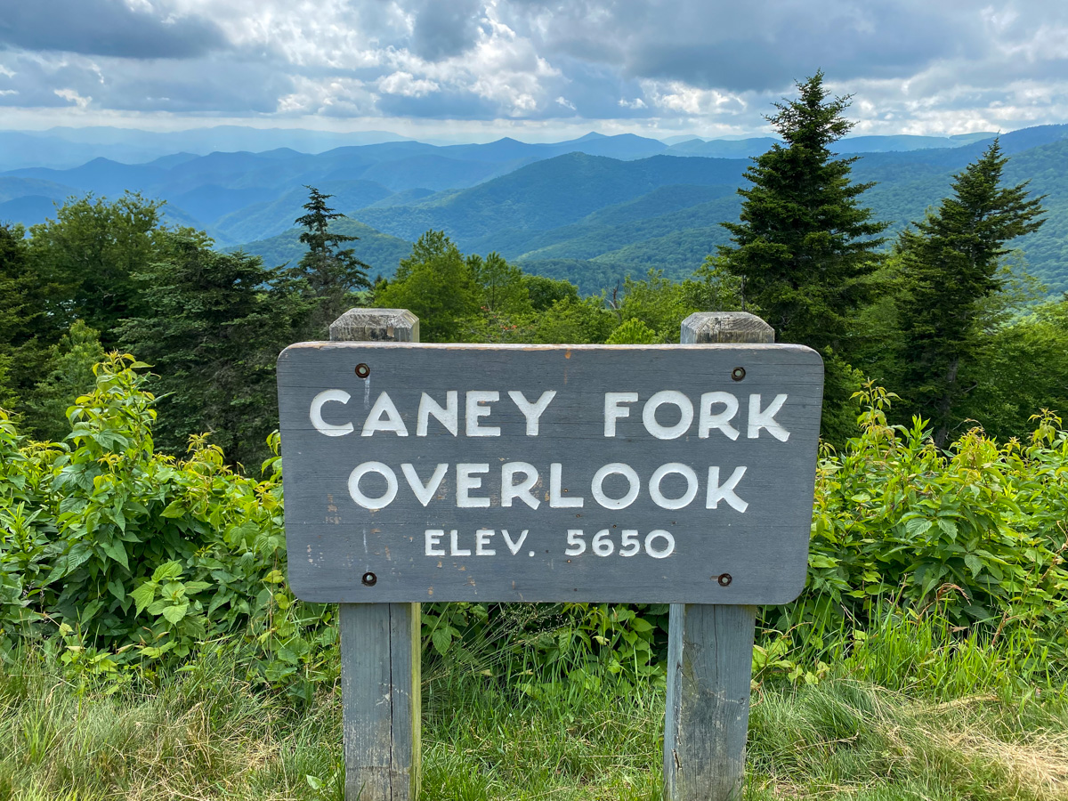
Elevation: 5,650 Feet
Caney Fork Overlook provides a beautiful view into the Caney Fork watershed and surrounding mountain ridges. The overlook sits at one of the higher elevations along the Blue Ridge Parkway and often experiences cool temperatures even during the summer months. Visitors can enjoy sweeping views of the rugged Appalachian landscape while taking a break from the winding mountain road. The overlook is especially beautiful during sunrise and sunset when changing light conditions enhance the layered mountain scenery.
Spot Knob Overlook (Milepost 427.8)
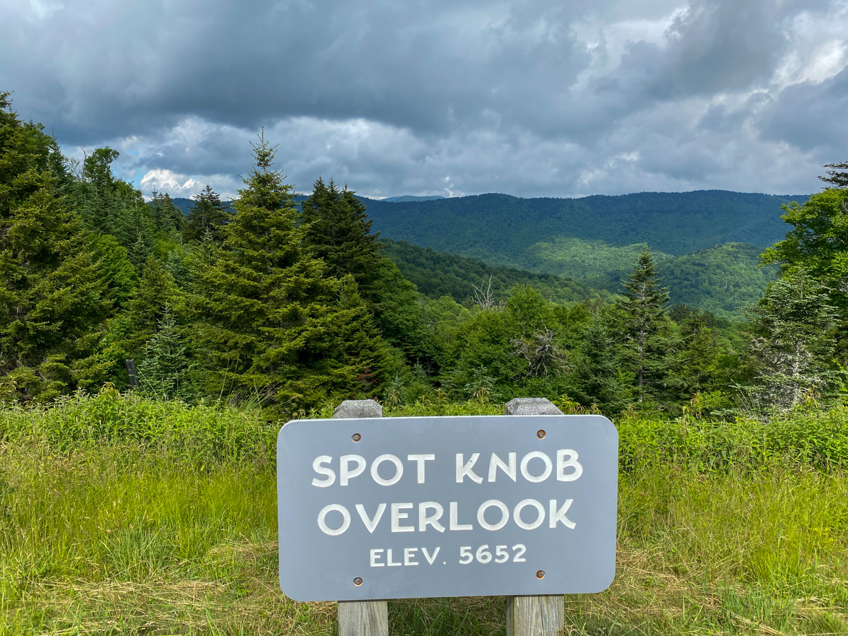
Elevation: 5,652 Feet
Spot Knob Overlook is located near one of the highest peaks in the Plott Balsam range and provides visitors with exceptional long-range views. The overlook offers a unique perspective of the surrounding mountains and valleys, showcasing the rugged terrain that defines this region of North Carolina. Spot Knob is particularly popular among photographers because of the layered mountain ridges that create depth and texture in landscape images.
Beartrail Ridge Overlook (Milepost 430.4)
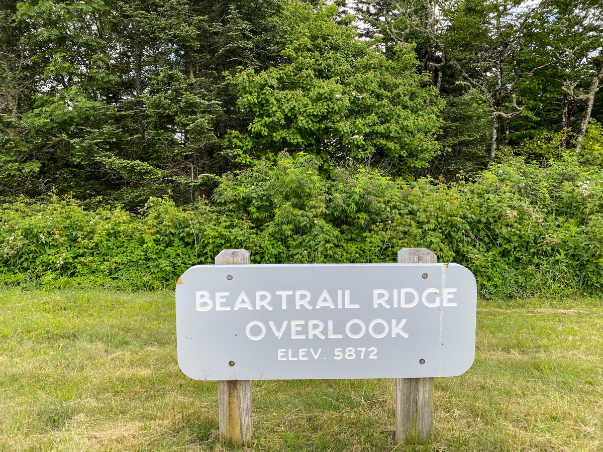
Elevation: 5,872 Feet
Beartrail Ridge Overlook sits just below the highest point on the Blue Ridge Parkway and offers some of the most impressive mountain views along the entire route. From this elevated vantage point, visitors can look out across countless mountain ridges stretching toward the horizon. The high elevation often results in cooler temperatures, rapidly changing weather, and occasional cloud inversions that create spectacular photography opportunities. This overlook is a must-stop destination for anyone driving through the area.
Cowee Mountain Overlook (Milepost 430.7)
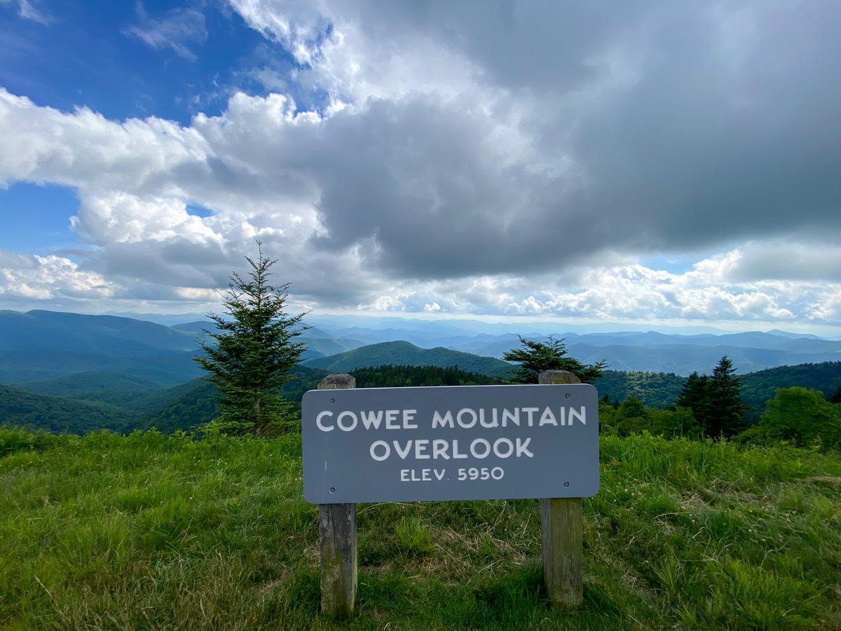
Elevation: 5,950 Feet
Cowee Mountain Overlook is widely considered one of the best overlooks on the Blue Ridge Parkway. The overlook features a large observation platform that provides unobstructed views across multiple mountain ranges. Visitors can often see for dozens of miles on clear days, making this one of the most rewarding stops along the entire route. The combination of elevation, accessibility, and panoramic scenery makes Cowee Mountain a favorite destination for photographers, road-trippers, and outdoor enthusiasts alike.
Haywood-Jackson Overlook (Milepost 446.9)
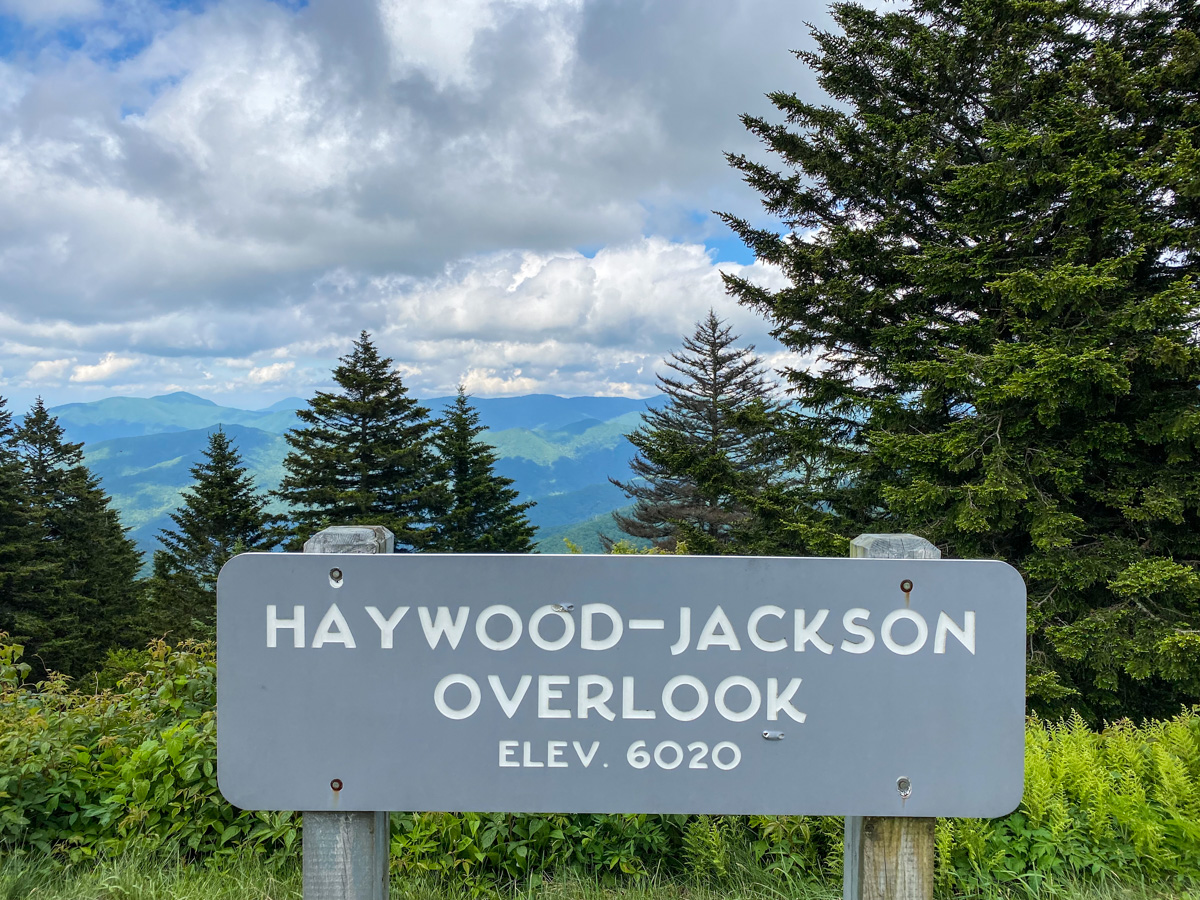
Elevation: Approximately 6,020 Feet
Haywood-Jackson Overlook marks the county line between Haywood County and Jackson County and offers visitors sweeping views across the mountains of western North Carolina. The overlook sits near Waterrock Knob, one of the most popular destinations on the Blue Ridge Parkway, and provides excellent opportunities for photography throughout the year. During sunset, the surrounding peaks often glow with warm golden light, creating some of the most memorable views along the route. This is one of the final major overlooks before reaching Great Smoky Mountains National Park.
Blue Ridge Parkway Highest Elevation (Milepost 431.4)
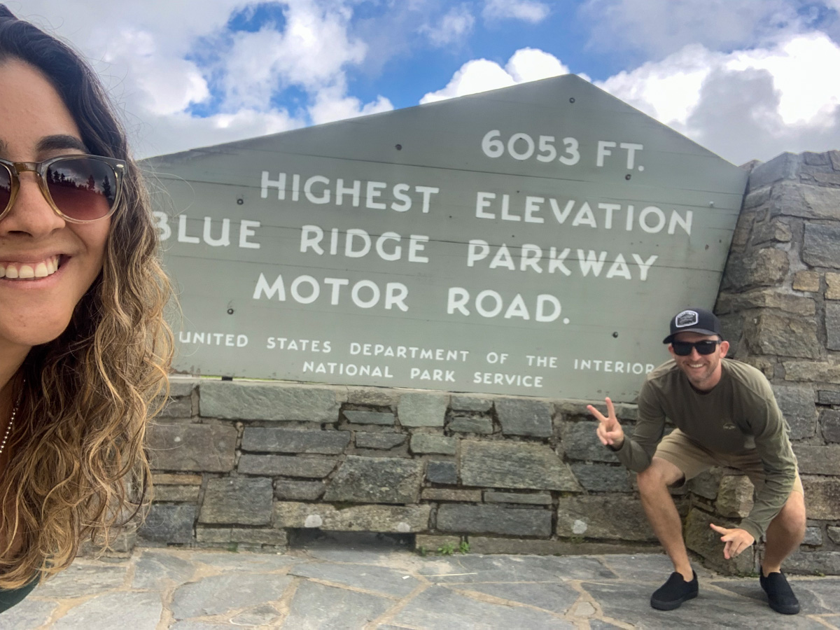
Elevation: 6,053 Feet
The highest point on the entire Blue Ridge Parkway is located at Milepost 431.4 and reaches an elevation of 6,053 feet above sea level. This landmark is one of the most popular stops along the parkway and serves as a bucket-list destination for many visitors. Standing beside the elevation marker provides a great photo opportunity and a chance to appreciate the incredible engineering achievement of building a scenic roadway through the highest mountains in the eastern United States.
At this elevation, temperatures are often significantly cooler than those found in Asheville and surrounding valleys. During autumn, the fall foliage season arrives earlier here than at lower elevations, creating stunning displays of color. Visitors should also be prepared for rapidly changing weather conditions, as fog, rain, and strong winds can develop quickly in the high mountains.
Blue Ridge Parkway Entrance (Great Smoky Mountains National Park) (Milepost 469.1)
Elevation: Approximately 2,000 Feet
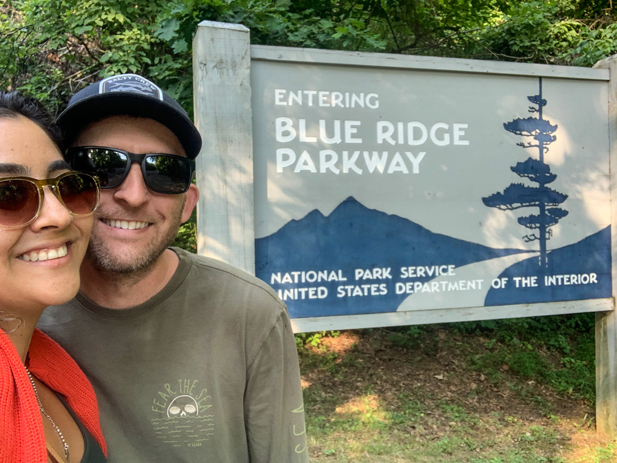
After several hours of driving through the Blue Ridge Mountains, we finally reached the southern terminus of the Blue Ridge Parkway at Great Smoky Mountains National Park. This location marks the end of one of America’s most scenic drives and the beginning of another incredible adventure within the most visited national park in the United States.
The transition from the Blue Ridge Parkway into Great Smoky Mountains National Park is seamless, allowing visitors to continue exploring waterfalls, hiking trails, scenic overlooks, and historic sites. For us, reaching the end of the parkway was the perfect conclusion to an unforgettable day filled with mountain views, photography stops, and countless scenic overlooks.
Best Blue Ridge Parkway Stops
If you’re short on time and can’t stop at every overlook, these are the locations we would prioritize:
1. Cowee Mountain Overlook
One of the best panoramic views on the entire Blue Ridge Parkway with a large observation platform and incredible long-distance visibility.
2. Devils Courthouse
A dramatic rock formation with a short hike leading to some of the best views in western North Carolina.
3. Graveyard Fields
A combination of waterfalls, hiking trails, mountain views, and fall foliage.
4. Looking Glass Rock
One of the most recognizable landmarks in Pisgah National Forest.
5. French Broad Overlook
Excellent sunrise views overlooking the French Broad River Valley.
6. Haywood-Jackson Overlook
One of the final major overlooks before reaching Great Smoky Mountains National Park.
7. Blue Ridge Parkway Highest Elevation
A must-stop photo opportunity at the highest point on the entire parkway.
Blue Ridge Parkway Photography Tips
Visit During Golden Hour
Sunrise and sunset provide the best lighting conditions for mountain photography. Early morning fog often settles into valleys and creates dramatic scenes.
Plan Around Fall Foliage
October is generally the most popular month to visit due to vibrant fall colors throughout the Blue Ridge Mountains.
Bring a Wide-Angle Lens
Many overlooks feature expansive views that are difficult to capture with a standard lens. Add any wide-angle lens to your existing camera, use a new iPhone or check out the Insta360 X5 which also takes incredible photos.
Watch the Weather
Mountain weather can change quickly. Fog, clouds, and storms often create unique photography opportunities.
Allow Extra Time
Although the drive itself can be completed relatively quickly, stopping at overlooks, hiking trails, and scenic viewpoints can easily turn the trip into a full-day adventure.
Frequently Asked Questions
What is the highest point on the Blue Ridge Parkway?
The highest point on the Blue Ridge Parkway is located at Milepost 431.4 and reaches an elevation of 6,053 feet above sea level.
How long does it take to drive the Blue Ridge Parkway?
Driving the full 469-mile Blue Ridge Parkway without stopping typically takes 10 to 12 hours. Most visitors spend multiple days exploring the route.
What are the best overlooks on the Blue Ridge Parkway?
Some of the most popular overlooks include Cowee Mountain Overlook, Devils Courthouse, French Broad Overlook, Looking Glass Rock, Haywood-Jackson Overlook, and Graveyard Fields.
Where does the Blue Ridge Parkway start and end?
The Blue Ridge Parkway runs from Shenandoah National Park in Virginia to Great Smoky Mountains National Park in North Carolina.
When is the best time to visit the Blue Ridge Parkway?
Fall is the most popular season due to the colorful foliage, although spring wildflowers and summer mountain views are also excellent reasons to visit.
Is the Blue Ridge Parkway free?
Yes. The Blue Ridge Parkway is free to drive and does not require an entrance fee.